Pages

6.30.2013

TIME


Never Stands Still


And like this old gas pump from the 50s where the price per gallon never needed to be expressed in anything more than "cents," everything changes.

Change is coming this way too. Blogging will be light for the next few weeks as I get things moved over to a new site. More news on that soon. 

6.28.2013

TULE LAKE #7


Cool Cave!


Lava Beds National Monument is as much about what's underground as above. With over 700 caves the Monument has largest concentration of lava tube caves in North America. Tennessee takes top honors for total number of caves of all kind as it averages 4 for every square mile in the state. This is Valentine Cave, so named for the date it was discovered in 1933.


The ceiling varied from smooth to stippled, as above. In the small area we explored near the entrance, portions of the cave roof were iridescent when hit by light. In another area, you could see where chunks had not long ago fallen off. You want a quick dose of spooky? Just turn your flashlight off.


Trying to persuade those a wee bit afraid of the dark. Better flashlights would have helped.


Whether is is a function of the cave or something else, we noticed a number of Juniper trees near the mouth of Valentine cave with a parasitic growths.


A closer look and it appeared to be mistletoe-like.


Something new to me - "Wag Bags." No need to explain further.

6.25.2013

TULE LAKE #6


Facing West


Sunset on "The Peninsula" and a revelation of different activities than on the east face. Less than 100 years ago the waters of Tule Lake surrounded this prominence.


Low to the ground and up close, first to be noticed are a long parade of petroglyphs. The Native Americans who predated the local Modoc and Klamath bands of tribes left these behind.


Coming by canoe, they paddled out to this place and a left what is now an indecipherable record of their existence. People who know this field of study, admit being puzzled by their meaning. When I first saw these some years ago, they were unprotected by this fence.


Watching over this heritage for perhaps as many centuries has been a series of birds. This Great Horned Owl awaits the dark to begin foraging.


For how many seasons have these big birds been here? Who knows but you can certainly pick out all the rodent skulls at the bottom of the cliff face.


Just as the sun is setting we see the return of a Prairie Falcon. There is a small lizard or rodent in its beak. 


We can't see its nest until it lands as they are pretty well hidden in the countless crevices. Suddenly the falcon flares and does a pinpoint landing at the edge its aerie. Quite a show. Quite a place.


6.21.2013

TULE LAKE #5


Facing East


There is a notable thumb of land, sometimes called the Peninsula, sometimes called Petroglyph Point, or on some maps, Castle Rock. Depending on which side you are on, catches either first or last light. Once surrounded by water, these cliffs are now high and dry.


Look one more time again at the previous picture. Towards the bottom, there is a patch of white with horizontal stripes. In 1917, Charles Coppock, born at the century mark, decided to express his frustration with being underage to join US forces during WW I. The result was this flag, dated August 15, 1917. He rowed out to a nearby spot, anchored a platform and painted what you see above. After 94 years some of the color has faded out.


When Charles Coppock returned to the area to farm, machines replaced the mules his father used. These vintage trucks spanned several decades - 30's, 40's and 50s.


Suffering from hard use, this old Ford still has most of its hardware intact.


Two more old battlewagons, a Ford and Chevy, appear to be more recently retired. Both have their license plates still attached. That is likely a field of young horseradish growing behind the trucks.


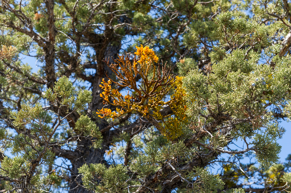
In that same early morning light that illustrated the "Flag" (above), a Canadian goose sits high above on a nearby spur of rock. Beyond, cliff swallows pepper the sky as they prepare to nest or feed their young.

6.17.2013

TULE LAKE #4


Lava Bed National Monument


This medicine pole, also called a medicine flag, was placed at what is called the Captain Jack Stronghold. This pole was placed by the local Klamath Indians to commemorate what the Modoc Indians did to fend off the US Cavalry many years ago.


This is the northernmost edge of what is known as the Captain Jack Stronghold. Named after the fearless Modoc leader of the same name, this site remains important to Native Americans. Tule Lake was once much bigger. The southern shore touched where the sign in the foreground is and water covered the landscape north and east as far as the distant dark hills. Most of the recovered land is now either part of Lava Bed National Monument, The Tule Lake National Wildlife Refuge or privately farmed.


To give you some understanding of the difficulty that the cavalry had in attempting to oust Captain Jack, this natural trench line was one of many that crisscrossed this patch of hostile lava. This natural fort was good enough, that at first, just 51 Modocs repelled over 300 army & militia soldiers.


This is what is left of a small fort that was garrisoned by troops lead by Major General Edward Canby. Their job was to attempt to corral rebellious Modoc tribal members, including Captain Jack, and put them back on a nearby reservation. For his effort, the general was killed by Captain Jack. This came after an illustrious career established in part by Canby's actions during the Civil War.


Not in many public places can you find a cross without a lawyer attached. This monument is on the Lava Beds National Monument and the inscription is almost as notable as finding a cross on Federal land. It says, "Gen. Canby, USA, was murdered here by the Modocs April 11, 1873". A medicine pole and a cross give testimony to two people who served their respective nations without fear. War is like that, isn't it. Sometimes with great meaning, sometimes meaningless.


6.13.2013

TULE LAKE #3


This is MY Place


No words are needed to describe who rules the roost.


Bald eagles are so feared by some specie of bird that even poor facsimiles are enough to keep the others at bay.


One such eagle-adverse bird is the goose. The eagle in the first shot flew out over a corner of the lake and every bird on the water took flight. 
Both eagle and flock are visible here.


There are three varieties of geese in this lift off: Canadian, Snow and Tule (or White Front). 


Note not just the geese but the light and dark bands of green. This is why farmers put fake bald eagles on sprouting fields. Here the fields are managed by the Tule Lake National Wildlife Refuge. Where they feed on the Refuge isn't as critical as it is away from the lake. Theses fields are intended to host the birds. Note the contrast of white against the cliffs. Those are Snow Geese.


A quick honk of the car horn gets most of these birds to look up. Again, parts of the field are nearly barren and others are still quite green - all from where the geese choose to feed.


This appeared to be a tern but didn't match up in my iBird app. Anybody know?


6.09.2013

TULE LAKE #2


Fire!


It looks ominous. A threatening cloud of smoke rises from the flats. 


Closer, it looks like the threat is even more critical. However, this is a pretty common and everyday thing in the spring. Tractors pulling "flame cultivators" put fire to a field just prior to tilling and planting for weed control.


Not only do crops thrive in this kind of environment, so do bird populations. Above, a male Ring Neck Pheasant has his eye on the hen in upper left of the next image.


6.05.2013

TULE LAKE #1


First It's About Farming


Like the Fall River Valley, many in the Tule Lake area make a living on what water provides. As the names suggests, one gets water from rivers and the other from a lake. Delivery of Tule Lake water comes via irrigation pipes (above).


From 1908 to 1930 one of the larger bodies of water in a chain of lakes was dredged and converted to farmland. That would be Tule Lake, which is considered a part of the Upper Klamath Basin. This drainage covers portions of California and Oregon.


All that reclaimed farmland has been generous with its bounty. Besides grain, the area produces potatoes, sugar beets and alfalfa. A sizable amount of horseradish is grown here too. On a summer day, the aroma coming from a field of this leafy rootstock is wonderfully aromatic and not at all suggestive of the taste.


I found the interior of this John Deere dealer in nearby Merrill, Oregon, to be full of farm machinery antiques. It's a little hard to see but who knew there were so many different and collectable versions of tractor seats.


Though 100 miles removed from the Fall & Pit River areas previously mentioned, there is still a common denominator - Mt. Shasta. Away from the lake itself, things are not so green - much more the arid landscape. 40 air miles away and 700' higher, the desert defines the landscape as much as the mountain does.

6.02.2013

NO, NO, NO!


And We Mean NO!


It started innocuously with a standard sign seen commonly in many places. This place was a parking lot near a lake at McArthur-Burney Falls State Park. In just a few minutes looking around the same parking lot we witnessed all the signs shown below. There were duplicates that I didn't photograph as well.


In the slow turn around we did in the parking lot, we became numbed by all the prohibitions.


Coming up the grade from the lake, we saw this last sign. What irony. Welcome to California.